1. Churn Clough Easy Access Trail
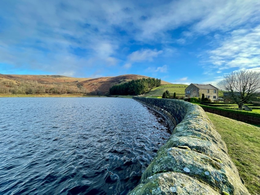
This short circular walk climbs from the village of Sabden to the edge of Churn Clough Reservoir and loops back towards the village from the east, offering views of Pendle and Darwen Tower. It’s an easy walk with only gradual climbs and an all-terrain Tramper is available for hire from St Nicholas Church, Sabden. Click here for details.
2. Worston Circular Walk
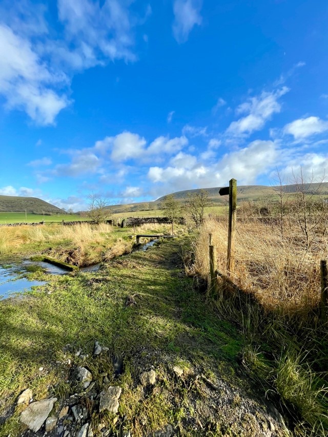 Starting at the foot of Crow Hill, this route skirts the southern edge of Worsaw Hill and offers great views of Pendle’s northern slopes. Worsaw Hill is known to have been the location of a prehistoric burial ground and a horde of silver Roman Denarii were reportedly unearth near Worston village in the 1700s.
3. Newchurch Circular Walk
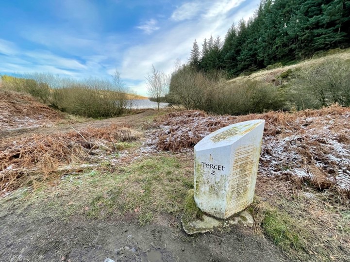 Beginning in the historic village of Newchurch at the foot of Pendle, this leisurely 2.5-mile walk climbs steeply out of the village then descends through the woods into Ogden Clough and its two reservoirs. Back in Newchurch, look out for signs of witchcraft in the yard of St Mary’s Church in the village.
4. Wiswell Circular Walk
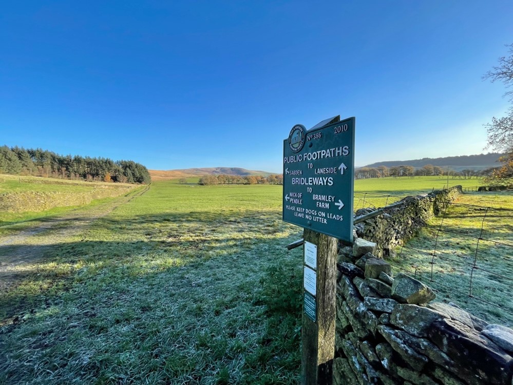 A lovely short circular walk from Spring Wood, where there is ample car parking. The route climbs through the much-loved woodlands and out onto the foothills of Pendle to the pretty village of Wiswell where you’ll find an excellent country inn offering outstanding food.
5. Downham Traditional Boundaries Walk
The beautiful village of Downham is the starting point for this meandering route through the foothills of Pendle across farmland which has remained largely unchanged for centuries. Along the way, look out for traditional dry stone walls and ancient hedgerows that divide the hotchpotch of ancient field systems which pre-date the 18th and 19th century enclosures.
6. Chatburn Circular Walk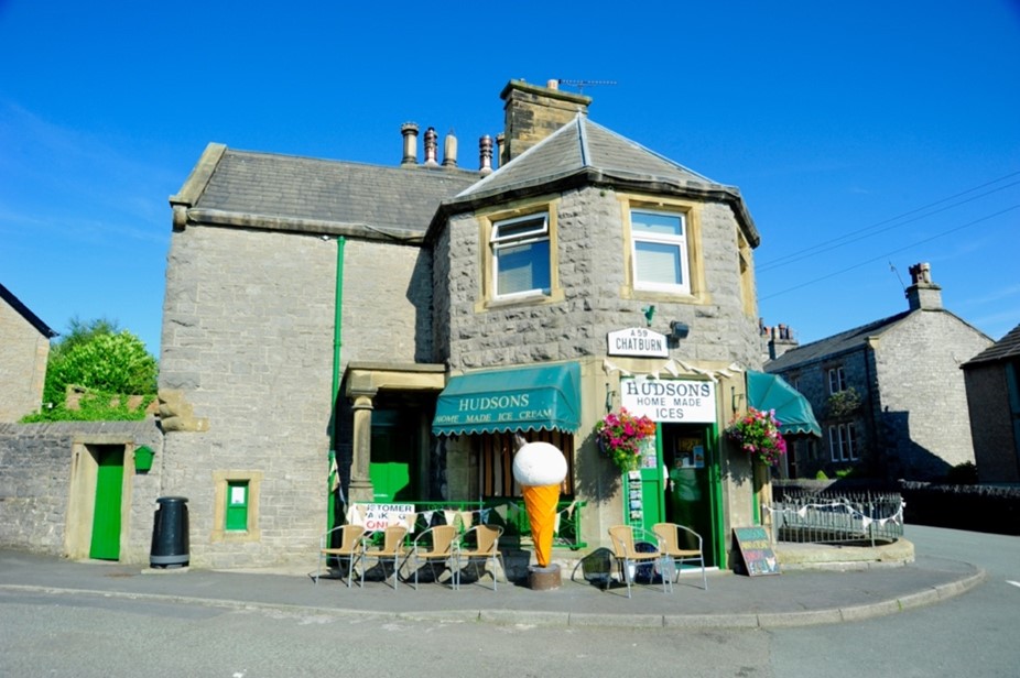
Named after the Anglo-Saxon Saint Chad (or Ceadda in Brythonic), Chatburn sits 400ft above sea level on the old Yorkshire-Lancashire border, this delightful 4.5-mile walk skirts the base of Worsaw Hill before heading through the scenic village of Downham and following the pretty Swanside Beck past an ancient packhorse bridge.
7. Sabden Circular: a low-level alternative to the summit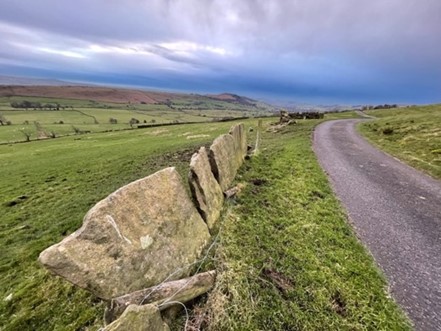
A gentler alternative to a summit expedition for those days when the cloud is down or the forecast is uncertain. This route explores the pastures and woodlands of the Sabden valley before heading into the more remote reaches through the pretty ghyll of Stainscomb, with its ancient stone field boundaries, then returning to the startpoint via Churn Clough Reservoir.
8. Spring Wood via Wiswell: the quiet route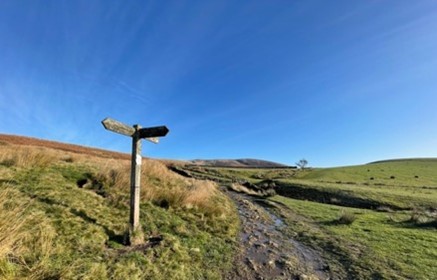
Take the path less trodden up onto the main ridge of Pendle, ascending beneath the ramparts of an ancient hillfort at Portfield Bar and following a lonely drovers' path above the Sabden Valley before climbing steeply past an old quarry and up onto the main ridge before returning via the Nick of Pendle and descending into the pretty hamlet of Wiswell where one of England’s best gastropubs serves hearty local fare in an informal setting.
9. Clitheroe: the car-free route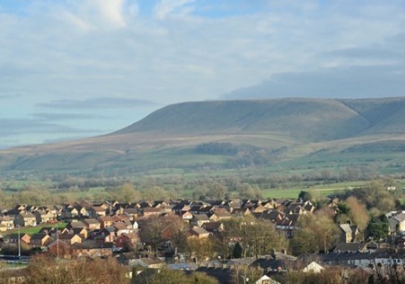
Leave the car at home and travel to the pretty market town of Clitheroe by train for a car-free expedition up Pendle. This route quickly takes from town into countryside and up onto the summit plateau via one of the many valleys or ‘cloughs’ on Pendle’s flanks, before returning to the stations via a pretty hamlet which boasts one of Britain’s best pubs.
10. Downham: the scenic summit route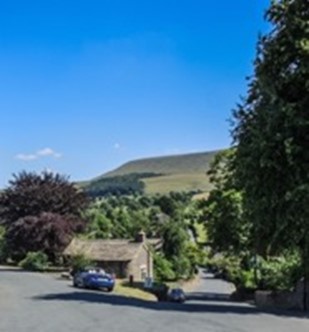
A sustained climb through the foothills of Pendle followed by a very steep ascent up the escarpment of the ‘Big end’ to reach the summit trig point with its panoramic views. An equally steep initial descent followed by a gentler amble through pretty pastureland to return to the startpoint in the gorgeous village of Downham.
11. Pendleton: the classic ridge route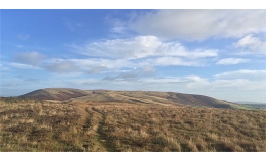
This demanding hike climbs steeply from the pretty village of Pendleton, nestling below the Nick of Pendle and climbs the main ridge before following the valley of Ogden Clough onto the summit plateau and along a flagstone path to the trig point. It then returns via the ‘ridge route’ along the northern flank of the hill before descending steeply to join a bridleway through the foothills and back to the start point.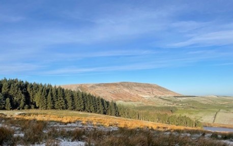
12. Fence: the challenging route
A challenging route via the pretty village of Newchurch with multiple climbs and a steep sustained ascent to the summit trig point. This route starts from Fence and traverses the foothills of Pendle, offering tantalising glimpses of the hill on the walk in before starting a long ascent to the ‘Big End’. Clocks up almost 700 metres of ascent all told.
- For more information about exploring Pendle Hill on foot, visit our Walking Information page, which highlights information about walking safely, along with other walking opportunities in the Forest of Bowland AONB.
