ONE HILL… SO MANY WAYS TO CLIMB IT
 Over the course of five years, the Pendle Hill Landscape
 Partnership Project has constructed or restored almost 7km of footpaths on and around Lancashire’s most iconic hill.
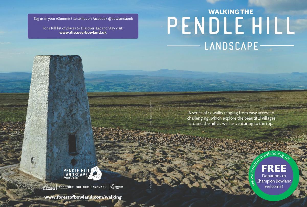
To celebrate the completion of new and improved routes, the Pendle Hill Landscape Partnership has produced a pack of 12 self-guided walks for all abilities.
The collection features a wide choice of walks with varying levels of challenge – from easy low-level rambles to challenging half-day hikes starting in some of the pretty villages around the hill.
Many of the walks have parking at the start point and there’s also a car-free route starting at Clitheroe Station.
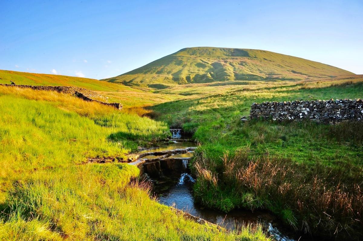
Choose a new route to the top or walk them all for the ultimate Pendle Hill challenge. Either way, you’re guaranteed to get fresh perspectives and stunning panoramic views.
Printed route maps are available from local Tourist Information Centres and a selection of local pubs, cafés and businesses. Alternatively, you can find Outdoor Active links to all the routes below.
This year, choose your own path to the top of Pendle: try #SummitElse
- We’d love to see your pictures and summit selfies, so do share them on our social media channels with the hastag #SummitElse: @bowlandaonb @pendlehillproject @discoverbowland

- For more information about exploring Pendle Hill on foot, visit our Walking Information page, which highlights information about walking safely, along with other walking opportunities in the Forest of Bowland AONB.
Simply click on a route via the map below and view or print the route as a pdf, or download the route as a .gpx file to follow the route in your favourite App.
Mid Pennine Arts have also recently produced The Pendle Radical trails, you can download the walk leaflets from here: https://www.pendleradicals.org.uk/resources/
